• Home
  • Search
  • Browse Collections
  • My Account
  • About
  • DC Network Digital Commons Network™
Skip to main content
FHSU Scholars Repository
  • Home
  • About
  • FAQ
  • My Account

Home > Partnered Content > Harvey County

Harvey County Historical Museum Photographs

Harvey County Historical Museum Photographs

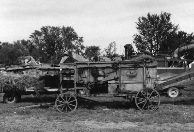
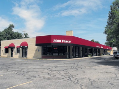
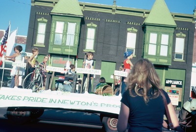
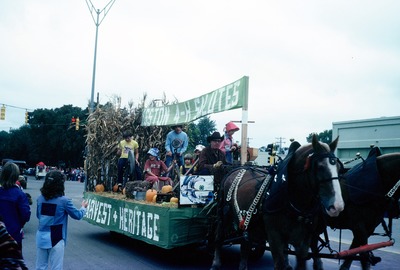
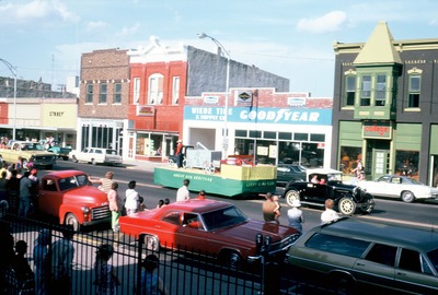
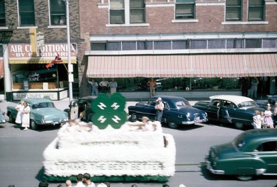
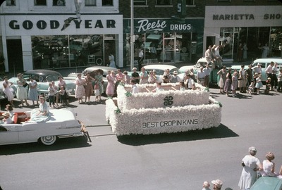
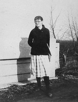
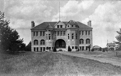
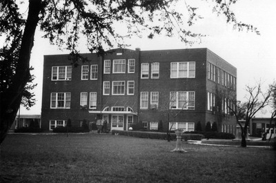
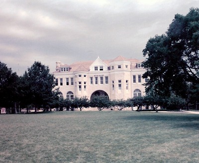
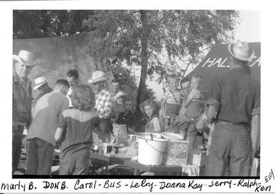
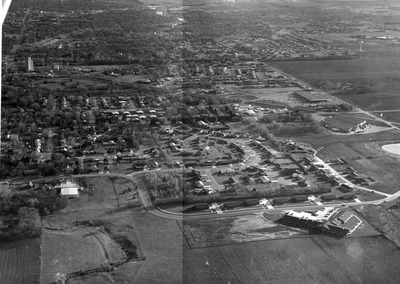
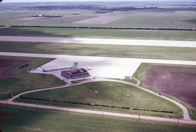
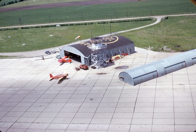
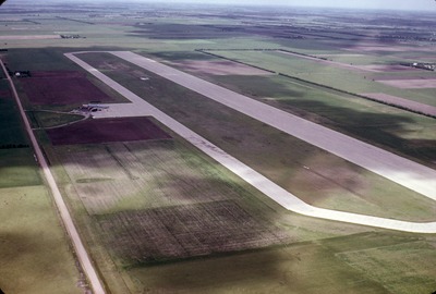
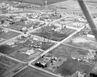
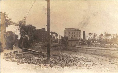
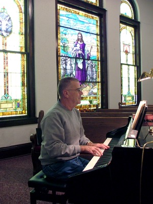
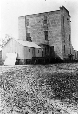
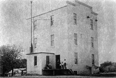
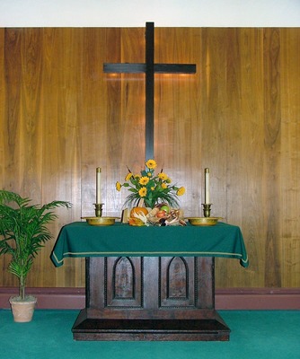
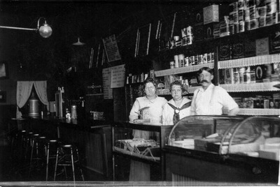
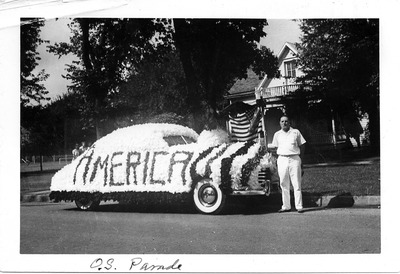
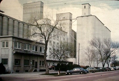
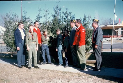
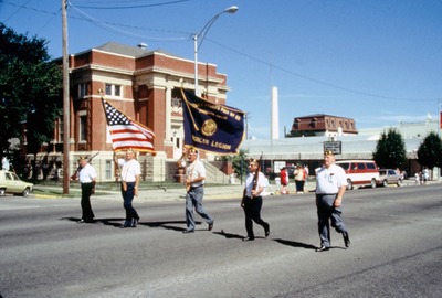
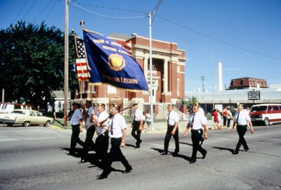
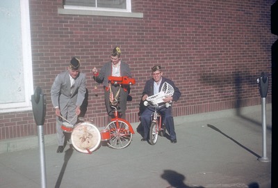
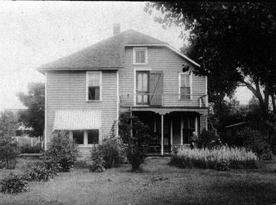
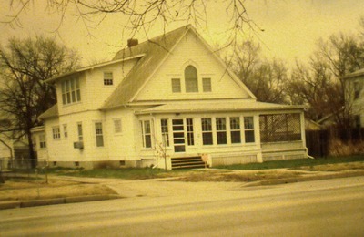
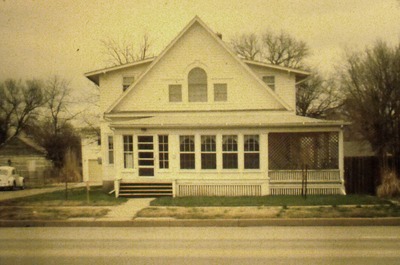
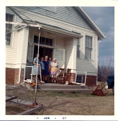
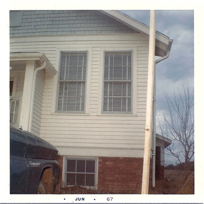
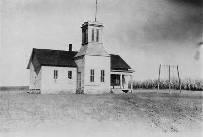
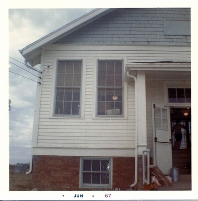
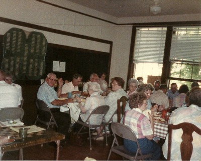
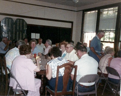
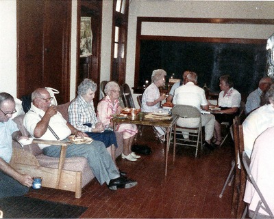
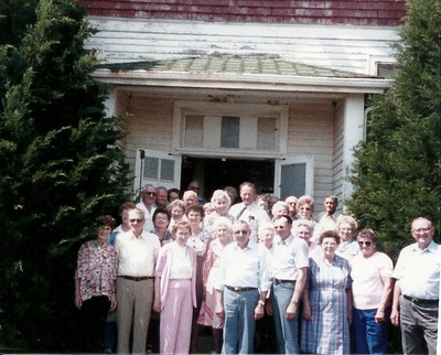
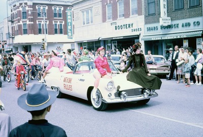
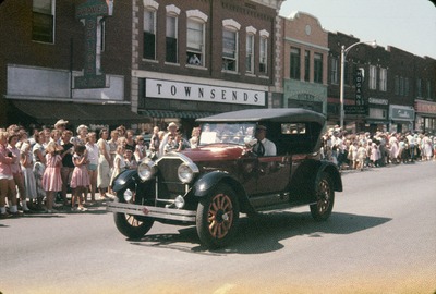
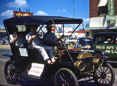
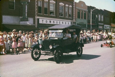
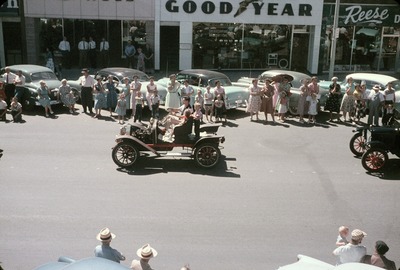
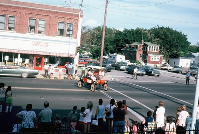
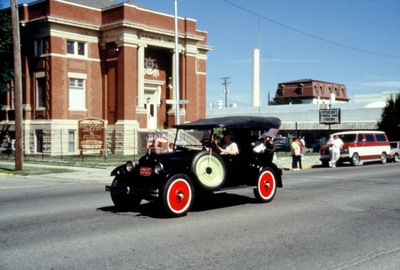
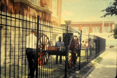
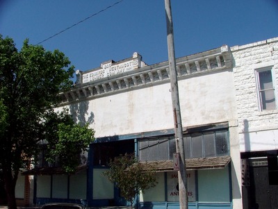
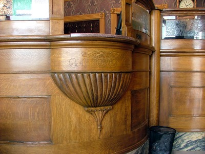
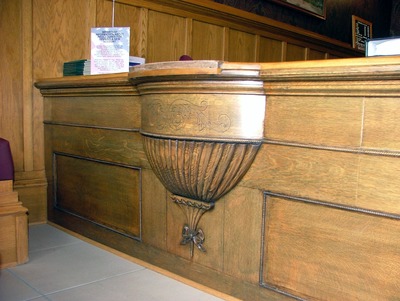
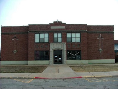
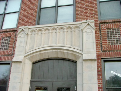
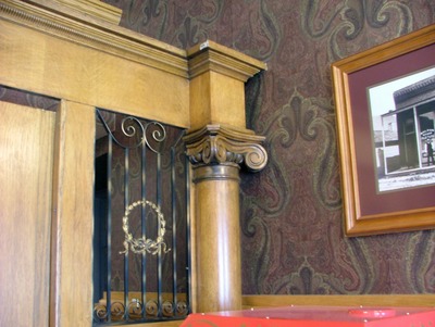
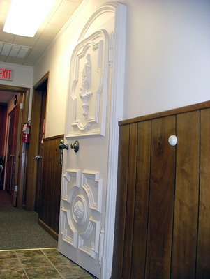
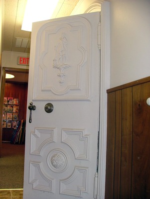
The Harvey County Historical Museum & Archives Photo Archive includes an estimated 10,000 images dating from 1871 to the present. Over 8,600 of these have been digitized and are in a searchable database on the visitor’s computer in the museum’s Carnegie Gift Shop. The collection includes photographs of Harvey County’s people, buildings, landscapes, businesses and organizations.
Printing is not supported at the primary Gallery Thumbnail page. Please first navigate to a specific Image before printing.

Follow

Switch View to List View Slideshow
 
  • 1870 Russell Separator

    1870 Russell Separator

  • 2500 Place in North Newton by Shrout Studio

    2500 Place in North Newton

  • 4-H Activities Float in a 1977 Parade in Newton

    4-H Activities Float in a 1977 Parade in Newton

  • 4-H Float

    4-H Float

  • 4-H Float

    4-H Float

  • 4-H Float in the 1954 Harvey County Fair Parade

    4-H Float in the 1954 Harvey County Fair Parade

  • 4-H Float Pulled by a Convertible

    4-H Float Pulled by a Convertible

  • Addie Irene Perkins by Linda Koppes

    Addie Irene Perkins

  • Administration Building at Bethel College

    Administration Building at Bethel College

  • Administration Building at the Hesston College by Linda Koppes

    Administration Building at the Hesston College

  • Administration Building on the Bethel College Campus by Bill Golding

    Administration Building on the Bethel College Campus

  • Adults and Children Around the Supply Wagon

    Adults and Children Around the Supply Wagon

  • Adults and Children Around the Supply Wagon

    Adults and Children Around the Supply Wagon

  • Aerial View Looking South on Sand Creek

    Aerial View Looking South on Sand Creek

  • Aerial View of 100, 200, and 300 Blocks of Main Street by Morse Studio

    Aerial View of 100, 200, and 300 Blocks of Main Street

  • Aerial View of American Flour Mills by Morse Studio

    Aerial View of American Flour Mills

  • Aerial view of Athletic Park in Newton

    Aerial view of Athletic Park in Newton

  • Aerial View of Business District and Railroad Yards by Morse Studio

    Aerial View of Business District and Railroad Yards

  • Aerial View of Business District from Fourth to Eighth Street by Morse Studio

    Aerial View of Business District from Fourth to Eighth Street

  • Aerial view of Business District from West Seventh to Third Streets by Morse Studio

    Aerial view of Business District from West Seventh to Third Streets

  • Aerial View of Businesses Along Highway 50 by Linda Koppes

    Aerial View of Businesses Along Highway 50

  • Aerial View of Creamery

    Aerial View of Creamery

  • Aerial View of Downtown Newton by Don Botterwick

    Aerial View of Downtown Newton

  • Aerial View of Halstead Hospital

    Aerial View of Halstead Hospital

  • Aerial View of King's 66 and Hesston Manufacturing

    Aerial View of King's 66 and Hesston Manufacturing

  • Aerial View of Newton

    Aerial View of Newton

  • Aerial View of Newton in 1952

    Aerial View of Newton in 1952

  • Aerial View of Newton in 1967

    Aerial View of Newton in 1967

  • Aerial View of Newton's Business District by Morse Studio

    Aerial View of Newton's Business District

  • Aerial View of Phillips Service Station by Linda Koppes

    Aerial View of Phillips Service Station

  • Aerial View of Southeast Newton

    Aerial View of Southeast Newton

  • Aerial View of the Bethel College Campus by Linda Koppes

    Aerial View of the Bethel College Campus

  • Aerial View of the Newton Business District by Morse Studio

    Aerial View of the Newton Business District

  • Aerial View of the Railroad Yards and Business District in Newton by Morse Studio

    Aerial View of the Railroad Yards and Business District in Newton

  • Aerial View of the Roundhouse and Area Looking North by L. M. Hurley

    Aerial View of the Roundhouse and Area Looking North

  • Aerial View of the Santa Fe Roundhouse and Surrounding Yards by Morse Studio

    Aerial View of the Santa Fe Roundhouse and Surrounding Yards

  • Aerial View of the Santa Fe Roundhouse Looking Southwest by Newton Gas Company

    Aerial View of the Santa Fe Roundhouse Looking Southwest

  • Aerial View of the West Side of North Newton by Linda Koppes

    Aerial View of the West Side of North Newton

  • Aerial View of Wirt Air Field

    Aerial View of Wirt Air Field

  • Aerial View of Wirt Air Field and Hangar

    Aerial View of Wirt Air Field and Hangar


Page 1 of 53

  • 1
  • 2
  • 3
  • 4
  • 5
  • 6
  • 7
 
 
Fort Hays State University

Search the Site

Advanced Search

  • Notify me via email or RSS

Browse the Repository

  • Collections
  • Disciplines
  • Authors

Author Information

  • Submission Guides

Links

  • Harvey County Historical Museum

FHSU Links

  • Digital Exhibits
  • Forsyth Library
  • Digital Commons Network

Gallery Locations

  • View gallery on map
  • View gallery in Google Earth
 
Elsevier - Digital Commons

Home | About | FAQ | My Account | Accessibility Statement

Privacy Copyright